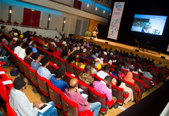
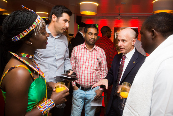
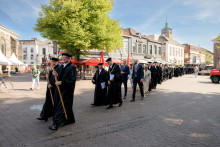
The ceremony was attended by many distinguished guests, such as ambassadors of Bangladesh, Ghana, Philippines, Rwanda or Tanzania. The central point of the event were, however, the new students from all over the world. 'I want to congratulate you for choosing this institution, you have made a great choice,' said Lucas de Oto from the ITC's Student Association Board. 'Gender, nationality, age, religion - none of those are barriers at ITC. Enjoy the wonders of diversity it offers. ITC is the whole world in one building.'

ITC co-developing 'University Network Ethiopia'
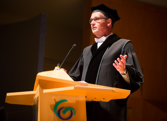
Professor Veldkamp also offered words of welcome to the freshmen: 'As students, you are now part of a larger mission. Universities try to improve our world by research and education. Yet, if we want to advance the world as a whole, we need to invest in other infrastructures, which is why ITC focuses on capacity development.'
'ITC would like to become a knowledge exchange hub. Our goal is to enhance international collaboration,' continued Veldkamp. 'One way to do that is to organize networks in individual countries. We are currently finalizing a project 'University Network Ethiopia', which we have co-developed with Ethiopian universities and which has been co-funded by us, the Dutch Ministry of Foreign Affairs and the Ethiopian Ministry of Education.'
After the dean's opening speech, the ITC Publication Award was presented at the ceremony. The award for the best scientific paper by a PhD student went to Xi Zhu for his paper on 3D leaf water content mapping.

Perspective that we can only see from space
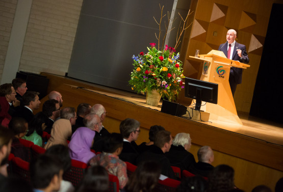
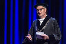
It is traditional for ITC academic year to be kicked off by so called Schermerhorn Lecture. This year the stage belonged to Daniel E. Irwin, the director of SERVIR (NASA) with 20 years of experience in satellite remote sensing applications. 'I'm so honored to be here. Giving this lecture is a dream come true,' began Irwin, who has worked with many ITC alumni.
'In 1999, I was invited to join NASA and focus on Space Archeology,' said Irwin. 'We use satellite data to identify prehistoric settlements. If you fly over jungles of Guatemala, for instance, you only see forest, but satellite imagery reveals ancient cities. Human influence on vegetation can still be seen after 2000 years.'

'In about 800 A.D. the Mayan civilization collapsed. Why was that and what can we learn from it?' asked Irwin. 'The Maya people were cutting down many trees to build their cities. Less trees meant less rainfall. Drought therefore probably caused the civilization's collapse. By building cities, they destroyed the rural environment: that is a perspective that we can only see from space and it is an important lesson for today.'
'Using satellites to understand and protect our planet'
Nowadays, Daniel Irwin runs SERVIR, a joint project between NASA and the U.S. Agency for International Development, which provides satellite-based Earth monitoring data, geospatial information and tools to help improve environmental decision-making in over 40 countries. 'Using satellites to understand and protect our planet is a huge part of NASA,' explained Irwin.
'SERVIR has a large global network that is still growing. With the help of local governments, we have co-developed more than 70 applications and services. For example, we have developed a frost monitoring system in Kenya, which now has a forecast mode and allows farmers to take action. Another example can be a flood early warning system in Bangladesh,' described Irwin. 'Some of the best people within SERVIR have come from ITC, which is why it's so incredible to be here.'
